


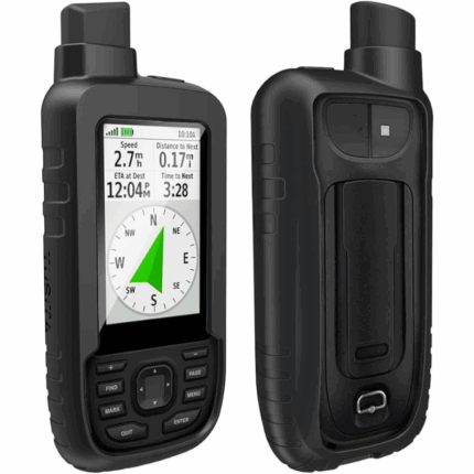
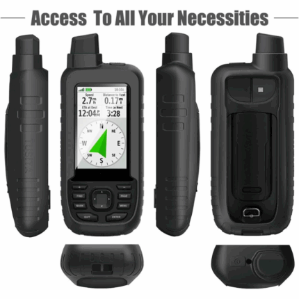
Garmin GPSMAP 78s 2.6-Inch Marine GPS Navigator and Worldwide Chartplotter
Product Description
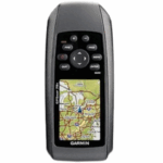
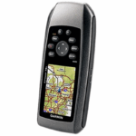
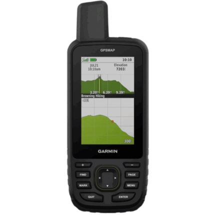
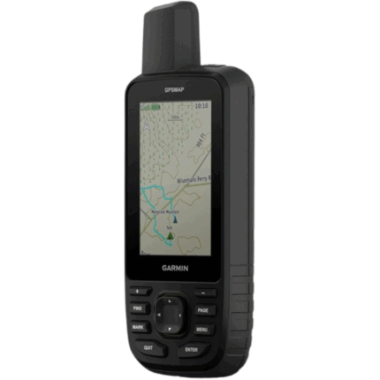
A versatile marine and outdoor GPS device, the GPSMAP 78s offers high durability, intuitive features like a 3‑axis compass and barometric altimeter, and easy map expansion—all wrapped in a waterproof, floating casing. It’s perfect for navigating both water and land environments with ease.
Key Features
-
Built-in Worldwide Basemap with optional expansion via BlueChart® g2, City Navigator NT®, BirdsEye™ Satellite Imagery, and Custom Maps for comprehensive navigation capabilities.
-
Durable, Waterproof, and Floatable Design: IPX7-rated to withstand water immersion and buoyant in case you drop it overboard.
-
High-Sensitivity WAAS-Enabled GPS Receiver with HotFix™ satellite prediction for rapid location fixes—even in dense cover or deep canyons.
-
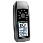
3-Axis Tilt-Compensated Electronic Compass and Barometric Altimeter to help with navigation and weather tracking.
-
Wireless Data Transfer: Share waypoints, tracks, routes, and geocaches with similar units via simple “Send” functionality.
-
Outdoor Tools: Includes geocaching support (paperless), sun/moon data, hunt/fish calendar, tide tables, area calculation, and photo navigation.
-
Expandable Storage via microSD™ card (slot protected inside the battery compartment).
Technical Specifications
| Category | Specification |
|---|---|
| Dimensions | 2.6″ × 6.0″ × 1.2″ (6.6 × 15.2 × 3.0 cm) |
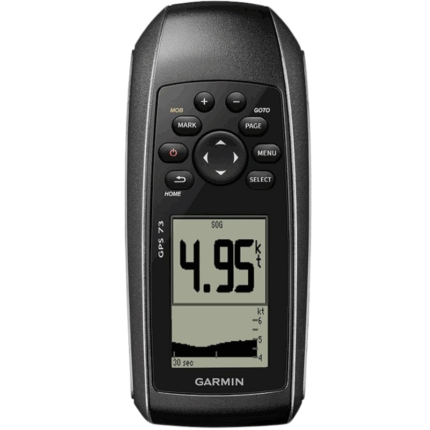
| Display | 2.6″ diagonal transflective 65-K color TFT; 160×240 px resolution |
| Weight | Approx. 7.7 oz (218 g) with batteries |
| Power | 2 × AA batteries (NiMH or Lithium recommended); up to 20 hours runtime |
| Waterproof Rating | IPX7; floats on water |
| GPS/Performance | High-sensitivity WAAS-enabled receiver with HotFix; USB & NMEA 0183 interface |
| Memory | 1.7 GB internal; supports microSD™ cards |
| Waypoints | Up to 2,000 |
| Routes | Up to 200 |
| Track Logs | Up to 10,000 points across 200 saved tracks |
| Sensors & Tools | 3-axis compass, barometric altimeter, geocaching, sun/moon, tide, hunt/fish, area calc |
| Other Features | Photo navigation, turn‑by‑turn (with maps), wireless data transfer, Garmin Connect™ support |
In the Box
-
Wrist strap
-
USB cable
-
Quick-start guide
Why It Stands Out
-
Marine-Ready—fully waterproof and buoyant—ideal for boating, sailing, and watersports.
-
Robust Outdoor Features—from geocaching to tide tables, it’s packed with tools adventurers need.
-
Highly Expandable—upload detailed marine, road, or topographic maps via microSD cards.
-
Efficient Power Management—long battery life via easily replaceable AA cells.
Summary
The Garmin GPSMAP 78s is a lightweight, rugged, handheld GPS navigator tailored for marine use but versatile enough for land navigation as well. With its color display, lifelike sensors, expandable maps, and water-safe design, it’s a dependable companion whether you’re sailing, hiking, or geocaching.


Reviews
There are no reviews yet.