


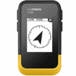
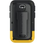


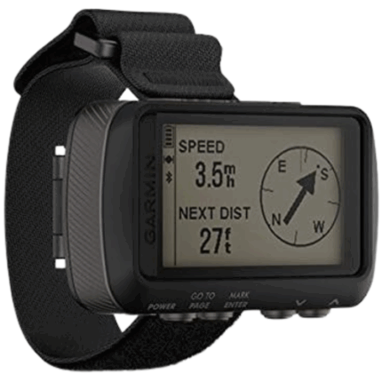
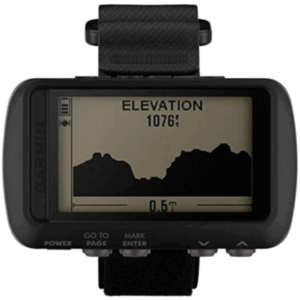
Garmin eTrex SE GPS Handheld Navigator
Short Description
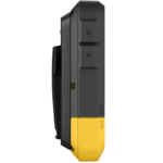
The Garmin eTrex SE is a rugged, compact GPS handheld designed for outdoor users who value simplicity, battery longevity, and reliable GNSS tracking. Featuring a monochrome sunlight-readable display, multi‑GNSS capability, and seamless smartphone integration via Bluetooth, it’s built for hiking, geocaching, and extended adventures with minimal fuss.
Key Features & Highlights
-
Long Battery Life: Up to 168 hours in standard mode and 1,800 hours in expedition mode using 2 AA batteries.
-
Rugged Build: Water-resistant (IPX7), operating smoothly in rain or wet conditions.
-
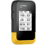
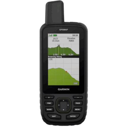
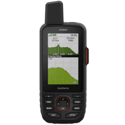
Sunlight-Readable Display: 2.2″ transflective monochrome screen (240 × 320 pixels) optimized for high visibility outdoors.
-
Multi‑GNSS Support: Tracks using GPS, GLONASS, Galileo, BeiDou, and QZSS for better accuracy in challenging environments.
-
Digital Compass: Provides accurate heading—even when stationary.
-
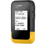
Geocaching Live: Automatically updates with descriptions, logs, and hints when paired with the Garmin Explore app.
-
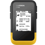
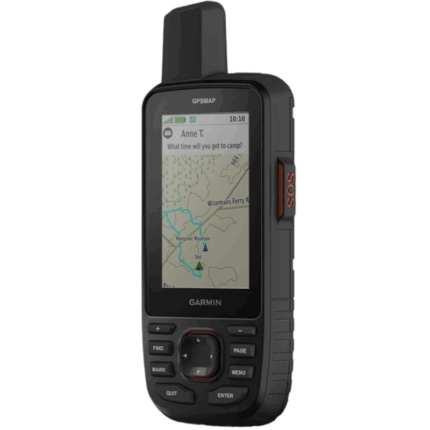
Smartphone Integration: Through Bluetooth, the Explore app enables trip planning, weather updates, smart notifications, and software updates.
-
Active Weather: Receive real-time forecasts on the device when connected to Garmin Explore.
-
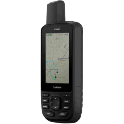
Outdoor Navigation Tools: Includes track logging, waypoint navigation, TracBack® route retrace, sun/moon info, and area calculation.
Technical Specifications
Physical & Display
| Specification | Detail |
|---|---|
| Dimensions | 2.4″ × 4.0″ × 1.3″ (6.1 × 10.0 × 3.3 cm) |
| Display Size | 1.3″ × 1.7″ (2.16″ diagonal) |
| Resolution | 240 × 320 pixels |
| Display Type | 2.2″ transflective monochrome |
| Weight | ~156 g (5.5 oz) with batteries |
Battery & Power
-
Battery Type: 2 × AA (alkaline, NiMH, or lithium)
-
Battery Life:
-
Standard GPS mode: up to 168 hours
-
Expedition mode (low power): up to 1,800 hours
-
Durability & Environment
-
Water Rating: IPX7 (can withstand immersion up to 1 m for 30 min)
-
Operating Temp: –20 °C to 60 °C (–4 °F to 140 °F)
Storage & Memory
-
Internal Memory: ~28 MB for history and waypoints
-
Waypoint Capacity: 1,000
-
Courses: 50
-
Activities: 200
-
Basemap: Yes — basic city markers only, no detailed maps, routing, or roads
Navigation & Sensor Capabilities
-
GNSS Systems: GPS, GLONASS, Galileo, Beidou, QZSS
-
High-sensitivity receiver, digital compass, GPS-based compass while moving
-
Outdoor Tools: TracBack®, point-to-point navigation, sun & moon info, area calculation, geocaching features.
Connectivity & Smart Features
-
Interface: USB‑C for charging/data
-
Wireless Connectivity: Bluetooth — pairs with Garmin Explore app
-
Smart Notifications & Weather: Yes, when connected to Garmin Explore
-
Geocaching Live: Syncs with Geocaching.com via Garmin Explore
Additional Insights
-
Users note the lack of offline detailed maps, needing smartphone pairing to load and transfer GPX data.
-
Some users reported occasional rebooting issues during navigation, which were potentially resolved by adjusting the “Display Time-Out” setting to “Always On”.
-
Data export via USB may require handling .fit files and conversion tools (e.g., gpsbabel) as GPX folders may appear empty.
Summary
Best For:
-
Hikers, geocachers, and trekkers seeking a durable, battery-efficient, and reliable GPS without complex features.
-
Those who partner with a smartphone for advanced mapping, geocache loading, and weather updates via Garmin Explore.
Limitations:
-
No built‑in detailed maps or real-time rerouting.
-
Dependent on smartphone and app ecosystem for file transfers and smart features.
-
Some users have noted minor firmware or usability quirks (e.g., reboots, file export handling).


Reviews
There are no reviews yet.